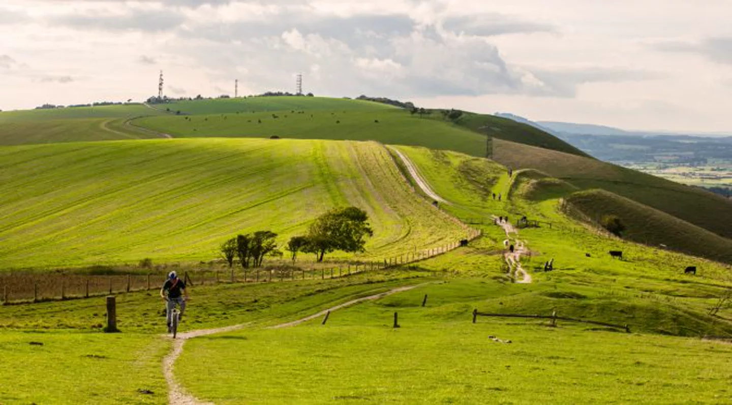
South Downs walking routes

South Downs Walking Routes

Compare South Downs walks at East Dean, Birling Gap and the Seven Sisters. Check distances, starting points and terrain, then plan your route on the footpath map.

Discover South Downs

Experience the gentle beauty of the South Downs National Park. Walk along ancient chalk hills, explore coastal paths, and discover the rich heritage of Sussex countryside. From the iconic Seven Sisters cliffs to peaceful inland trails, our interactive map helps you navigate the extensive network of public footpaths and bridleways that crisscross this stunning landscape.

Two South Downs walks to start with

Compare a circular walk from East Dean with a longer coastal walk across the Seven Sisters. The map links show each starting area so you can draw your own plan; they do not load a verified route.

Distances and terrain summarised from the linked National Trust guides, checked 30 September 2026. Check the original guide for current access information and full directions.

Plan your South Downs walking route

  1. Choose your starting area and compare the official directions with the footpaths shown on the map.
  2. Plot your route and check its distance. A linear coastal walk needs a return plan; a circular walk brings you back to the start.
  3. Export GPX for a compatible navigation app. Keep a suitable map and check weather, access and transport before setting out.

Coastal access and practical questions

Are these easy or accessible walks?

Both linked National Trust itineraries are rated moderate. Steep or uneven ground means these descriptions are not step-free access recommendations. Read the guide’s terrain information before choosing a walk.

What should I check near the cliffs?

Keep well back from cliff edges, follow local signs and check the land manager’s current notices. Do not assume a line on the map confirms that a path is open or safe today.

Can I take a dog?

The linked guides list these walks as dog friendly. Follow their current guidance and keep dogs under close control, especially near cliffs and grazing livestock.

Can I save or export my route?

Drawing and GPX export are free without an account. Drafts stay on this device; Pro adds account saves and automatic Follow paths routing.

Plan Your Walk

  • • View public footpaths on our interactive map
  • • Draw routes and export GPX files
  • • Measure the distance of your route
  • • Edit points to adjust your walk

Features

  • • Free interactive footpath map
  • • Draft recovery on this device
  • • Route distance in miles or kilometres
  • • Save routes to your account with Pro